
Welcome to Coastal Explorer
Other Site Links
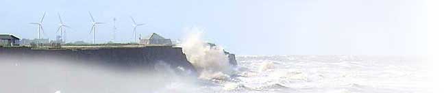
Management of such a challenging coastline lead the Authority in the early 1950s to initiate a programme of cliff and beach monitoring. From its humble beginnings over 50 years ago this information gathering process has steadily grown to keep pace with the rising demand for such information. Originally based upon simple photographic and taped measurements the Authority now makes use of state of the art GPS 'Global Positioning System' surveying equipment and cutting edge computer software.
With such a unique set of environmental as well as social issues the East Riding of Yorkshire coastline has naturally become an area of intense study and research. As a consequence our monitoring database has become a valuable recourse for those wishing to obtain coastal information. This website has been set up primarily to allow public access to this monitoring data, whether for simple house purchase enquiries or more in-depth academic study.
Whatever the reason for your interest in our coastline we trust you will find this site interesting as well as informative.
 Coastal Mapper - use to access beach monitoring data
Before 1951 there were no accurate figures for erosion rates, estimates could only be made using old maps or rather dubious anecdotal evidence. As part of its continuing programme of coastal management, the local council began taking annual measurements at key locations down the coast.
Through this process the East Riding of Yorkshire Council has built up a substantial collection of information including erosion rates, cliff lines and beach levels.
The mapping interface allows users to view the various maps and plans of our coastline, both current and historic, and aims to show them in a simple and easily understandable way. Users can move around the shoreline, examining key points along the coast, measure distances and look at the variety of datasets held by Council.
The Coastal Mapper makes use of a GIS interface onto which you can load a variety of other data layers, the choice is yours and may include any or all of the following topics:
- - For home purchasers, use map tools and cliff erosion rates to estimate property life expectancies ( new users may find the help link useful )
- - For a study of cliff erosion, use the historical surveyed cliff line data or download the tabulated erosion results
- - For a study of beach processes, use the Advance Data section to access our beach modelling data
- - For more general research you may find other layers such as the aerial photos or lost village details useful